
Miranda
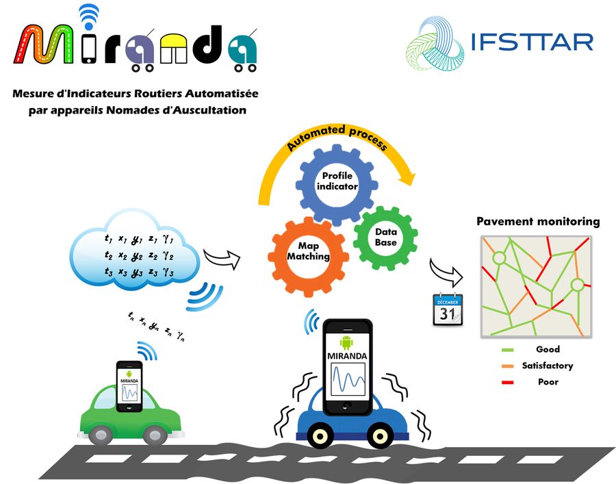
The MIRANDA system is an automated monitoring tool dedicated to road managers for checking the quality of the ride comfort on networks continuously and in “real-time”.
This system is able to measure longitudinal irregularities whose wavelengths approximatively range from 3m to 45m. Significant smaller defects like potholes can also be detected.
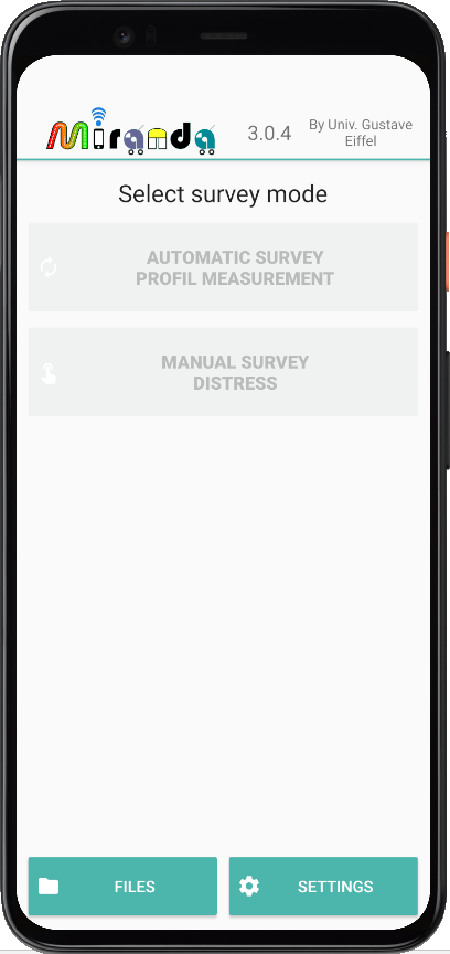
The MIRANDA system is based on the use of probe vehicles equipped with smartphones for the data collection. The sensors of the smartphone give some information about the dynamic of the vehicle and its position. This information which is continuously recorded over time and space is then converted to a road profile signal with the corresponding indicators (NBO and IRI). These are automatically entered into a database from which the road manager can execute different kind of queries (classification, visualization with a GIS, etc.).
The MIRANDA system aims to help managers for maintaining the level of service of the road networks (especially for secondary roads).
More about it there :
Contact :
For any question regarding Miranda software, you can send a message to miranda-support@listes.univ-eiffel.fr